NASA Earth Observatory
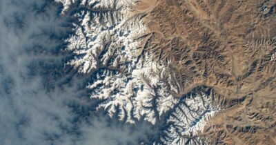
NASA satellites map record Gandak River flooding in Nepal, India
NASA Earth Observatory published MODIS false-color images showing the Gandak River swelling after late-monsoon rains pushed gauges to record highs in Nepal and India.
 NASA

NASA Maps 1,943 Hidden Valleys Beneath Greenland’s Ice Sheet
A NASA-led study says a new satellite-based method revealed a vast subglacial valley network that could sharpen long-term projections of how Greenland's ice will retreat.
NASA